
Key Innovation Team for Boundary Layer Meteorology of China Meteorological Administration
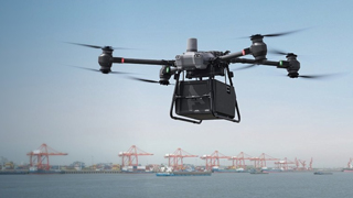
Using meteorological intelligence to assist in safe low altitude flight
Meteorological Administration has overcome the problem of boundary layer data conversion, carried out a series of research and technological breakthroughs, built an aviation meteorological service system, achieved the landing and application of multiple achievements, and promoted innovation in low altitude economic meteorological services
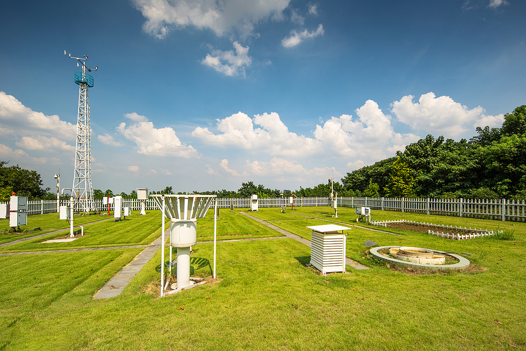
With the vigorous rise of low altitude economy, the demand for low altitude meteorological services has surged in fields such as agricultural and forestry plant protection, industrial inspection, and emergency rescue. Currently, China has built the world's densest ground-based remote sensing vertical observation network, continuously providing high-precision and highly timely observation data for low altitude meteorological technology innovation. However, how to transform these data into practical, high-precision, and practical boundary layer high-precision thermal dynamic fusion business products and parameterization solutions remains a major challenge.
The lack of boundary layer thermodynamic data products will directly affect people's scientific understanding of the physical mechanisms of the impact of complex underlying surfaces such as cities and mountains, as well as aerosol effects on cloud precipitation, and restrict the accuracy of disaster weather forecasts such as heavy precipitation and thunderstorms and strong winds, thereby affecting the safety and efficiency of low altitude flights, "said Guo Jianping, Chief Scientist of the Key Innovation Team for Boundary Layer Meteorology (hereinafter referred to as the" Innovation Team ") of the China Meteorological Administration.
The innovative team led by the Chinese Academy of Meteorological Sciences is dedicated to precise monitoring and early warning research of disaster weather. The innovative team conducted field scientific observation experiments on strong convective targets, innovatively developed network inversion technology for key parameters of atmospheric boundary layer, and proposed an optimized layout plan for wind profile radar station network. The research focuses on the cloud covered boundary layer under complex underlying surface conditions. By improving the parameterization scheme, the impact mechanism of atmospheric boundary layer thermodynamic processes on precipitation and the signal characteristics in the early stage of triggering are revealed. At the same time, the innovation team actively promotes the research on key theories of low altitude economic meteorology, the development of common technologies for low altitude aviation hazard weather monitoring and early warning, and the tackling of key service technologies, providing technological support for low altitude flight safety.
The innovative team systematically conducted research on boundary layer parameterization and the impact mechanism of urban heat island on cloud precipitation. Based on the grey area self similarity theory, they developed a scale adaptive boundary layer scheme suitable for kilometer level weather forecasting models, significantly improving the accuracy and reliability of high-resolution forecasting. In addition, by analyzing the impact mechanism of urban hydrological processes and heat island effect on climate, combined with multi band radar network data, the spatiotemporal distribution and evolution characteristics of deep convective clouds and convective cells in areas such as Beijing Tianjin Hebei, Central Plains, and southeastern coast were analyzed, and their daily variation characteristics, occurrence frequency, and other information were summarized, providing scientific basis for low altitude route planning and optimization.
In terms of aviation meteorological services, the innovative team integrates multi-source data, combines model output, dynamics, and statistical methods, and constructs a refined service system to provide accurate warning and forecasting for typical airports, approach areas, and routes (dangerous weather). In response to the difficulty of meteorological risk assessment for visual flight in low altitude flight, the innovative team conducted on-site research on general aviation airports and pilot operation practices, combined with civil aviation flight meteorological condition indicators and literature research methods, established a four level risk assessment system (green low risk, yellow high risk, orange very high risk, red extremely high risk), and implemented business applications in Inner Mongolia, Jiangxi and other places, providing real-time meteorological risk warning for general aviation flight, significantly improving the safety and operational efficiency of low altitude flight.
The innovative team not only fills the gap in boundary layer meteorological research, but also effectively promotes the innovation of low altitude economic meteorological service models. At present, the innovation team has been approved for one national key research and development project, six provincial and ministerial level projects, and five achievements have been demonstrated and applied. Jiangxi Province Aviation Meteorological Service Platform and Inner Mongolia Aviation Meteorological Forecast Service Platform have achieved provincial-level business operation. In addition, the innovative team has built a navigation meteorological service product application and flight safety service guarantee platform, which has provided accurate meteorological services for 6000 navigation flights.
Article reprint: http://epaper.zgqxb.com.cn/ China Meteorological News
More News
Recommended software and hardware configuration for provincial conventional meteorological observation stations
2025.03.28
The official website of Dyuan Technology has been launched, opening a new chapter in intelligent monitoring services
2025.03.25

Dyuan Technology shines at the International Meteorological Exhibition, Innovative products lead new changes in the industry
2025.03.25

Dyuan shines brightly at the Asia Pacific International Meteorological and Hydrological Exhibition, attracting attention with innovative solutions and products
2025.03.25